
Walking a Palisades Park Street
A street search works best as a chain of small checks. First, standardize the address, then locate the parcel, then decide whether the question concerns an assessment, a recorded transfer, a municipal filing, or a historical source. The location field in a tax record can point to a parcel, but its owner field is not proof of present occupancy. Likewise, a deed names parties to a conveyance, while a map shows geography. Treat each result as the kind of evidence it actually is. This keeps a Palisades Park street directory search useful without turning a public record into a personal profile.
- Use the New Jersey municipality lookup to preserve the standardized address and legal municipality.
- Search the Bergen assessment database by location, then note the block, lot, qualifier, tax year, and any visible owner or sale fields.
- Open the Bergen GIS route for parcel context. Its live controls were not text-inspected, so use map browsing rather than assuming an adjacent-parcel button exists.
- Keep the parcel identifier and the assessment result separate. An assessment is a tax record, not title proof.
- Search the Bergen land-record index with party names and spelling variants, then read the instrument and legal description.
- For a narrowly defined construction or occupancy document, ask the Borough through its Building Department or an OPRA request for an existing final record.
- Use maps and regional directories only after the parcel trail is clear, and label them as historical clues rather than current evidence.
That sequence is deliberately address-first. A district voter-list request is a separate County Clerk process, not an online street directory, and it needs current confirmation of fields, redactions, fees, and permitted use.
Assessment Fields for Palisades Park Streets
The Bergen Board of Taxation interface is the first official layer for a Palisades Park address. Select Bergen County and district 0245, then choose the interface's search and output formats. The documented inputs are Location, Owner Name, Block, Lot, and Qualifier. Location is the most natural starting point for a street directory search, while block and lot help when a unit or an older address is unclear. The public workflow also carries no-warranty, SR1A, and Daniel's Law cautions, so save the access date and do not treat the result as a guaranteed title record.
| Assessment field | How it helps a street search |
|---|---|
| Location | Finds the situs or physical property location. |
| Owner Name | Provides an assessment-party lead, not a current-residency finding. |
| Block and Lot | Links a tax record to parcel and deed research. |
| Qualifier | Separates a unit or subparcel where applicable. |
| Search and output formats | Control the interface's query and result layout. |
See the official Palisades Park assessment search before entering a public address.
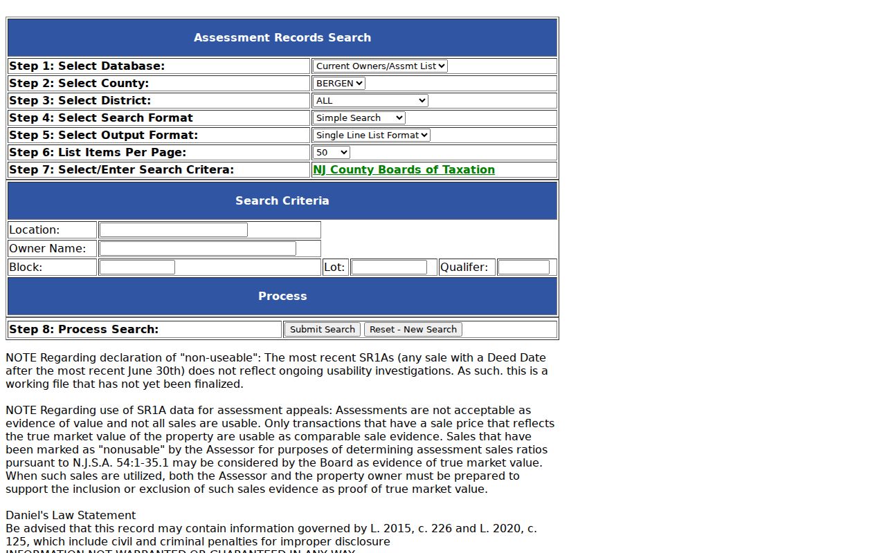
The captured assessment interface shows why a location query should be retained with its parcel fields instead of reduced to a bare street name.
Palisades Park Street Address Types
A street directory search can fail when it treats several address concepts as interchangeable. The situs address is the physical property location used in assessment and GIS work. A deed can carry a grantee mailing address, which may be elsewhere. The legal description identifies land through block and lot or other recorded language. A postal address routes mail. Each may be useful, but they answer different questions and can legitimately differ without showing an error.
- Situs address
- The physical Palisades Park property location used to begin an assessment or parcel search.
- Mailing address
- An address used for correspondence, including the grantee mailing address recorded with a deed.
- Legal description
- The durable recorded description, such as block and lot, used to identify the land itself.
- Postal ZIP
- A delivery-routing label that does not establish a borough boundary or current occupancy.
Record each field exactly as displayed and preserve its source. That makes a later deed, assessment, or postal comparison much easier to audit.
GIS Context Across Palisades Park Streets
County GIS and NJGIN add map context that the assessment screen cannot provide. NJGIN supplies standardized address points, road-centerline links, and alternate street names. Bergen's parcel material can help place a parcel beside its immediate map context. Neither a polygon nor a map label is a survey or legal boundary, and NJGIN warns that owner names are redacted under Daniel's Law. For a boundary question, compare the deed's legal description or a survey instead of relying on a shape on screen.
The official Bergen County GIS information page is the route to the county viewer.
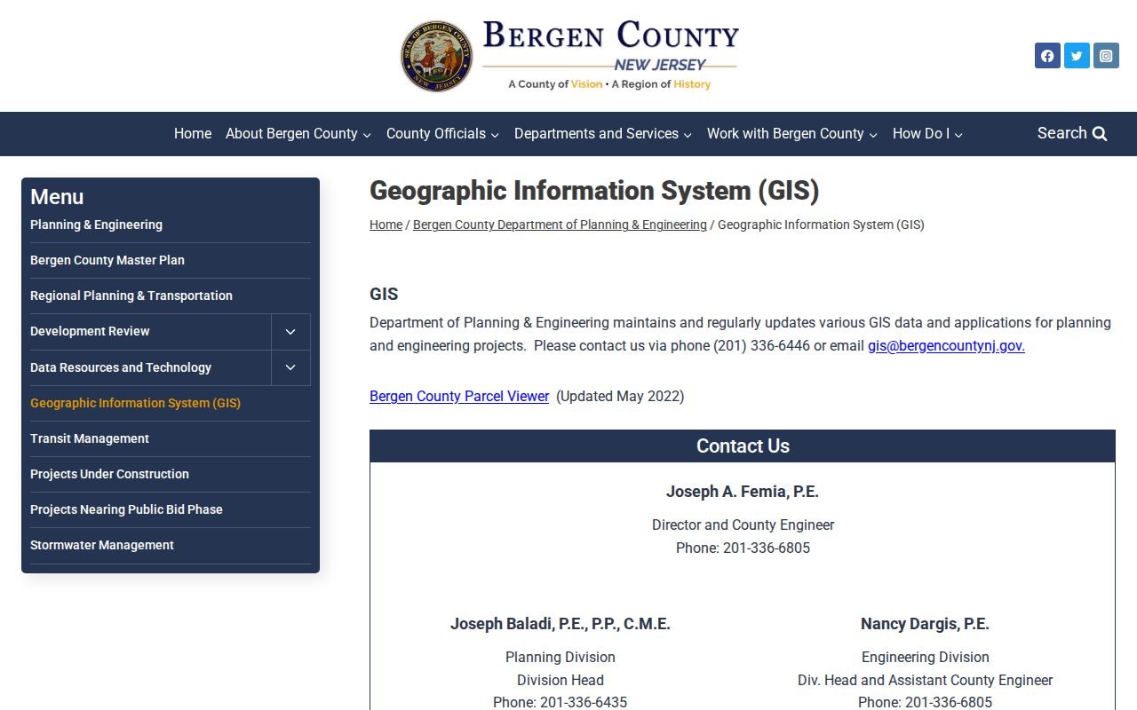
Use the viewer to relate a Palisades Park address to a parcel identifier and nearby geometry, then request only the underlying record needed for the question.
Record path: standardized address → parcel or block and lot → assessment or deed record → a carefully labeled conclusion. This geographic check is especially useful in a compact borough where a short distance can cross a municipal or parcel boundary. Preserve the original spelling and the normalized address because an alternate street name can matter when comparing older maps or documents.
Address Records Along Palisades Park Streets
No official borough-wide resident roster was located. Address-keyed records are instead held by different custodians, each with a limited purpose. The table separates what a street directory query can establish from what it cannot. A parcel or assessment record can offer a property lead. A deed can document a recorded transaction. A municipal file can show an administrative process. None of those records should be treated as a full household list.
| Address record | Custodian | Useful street evidence | Access route |
|---|---|---|---|
| Assessment and SR1A data | Bergen Board of Taxation | Location, parcel fields, assessment, visible owner or sale data | Online district 0245 search with warnings |
| Parcel and address layer | Bergen GIS and NJGIN | Map context, address points, road links, adjacent geometry | County viewer and state data, not a survey |
| Land records | Bergen County Clerk Registry | Party, instrument, date, and legal-description leads | Public electronic page from January 1, 1970; older material needs an office or archive handoff |
| District voter lists | Bergen County Clerk | Registered-voter lists by district and address under county rules | Written request, $0.25 per district, with redactions and current terms confirmed |
| Permit or CO file | Palisades Park Building Department | Authorized work, use, and municipal process dates | No public search found; seek a narrow department or OPRA request |
| Legal notices | Palisades Park Borough | Planning, permit, ordinance, audit, or project activity | Official free archive from January 1, 2026, not a resident list |
Parcel fields are the bridge between these sources. Start with a location, retain the block and lot, and ask the next custodian for the specific record type. The County Clerk's public-services route handles voter-list and certification requests separately from land records, so a request still needs the proper division.
Reading the Palisades Park Deed Trail
The County Clerk Registry's public electronic land-record page covers January 1, 1970 to the present. The index is party-centered, not a simple address search. After the assessment or GIS layer provides the current assessed owner and parcel fields, search that party as grantee for a purchase instrument. Read the seller as grantor, the document date and type, the consideration, and the legal description. Then search the seller as an earlier grantee and repeat. Check mortgages, assignments, satisfactions, releases, liens, and lis pendens as separate document types.
Open the official Bergen land-records search to begin the party-index step.
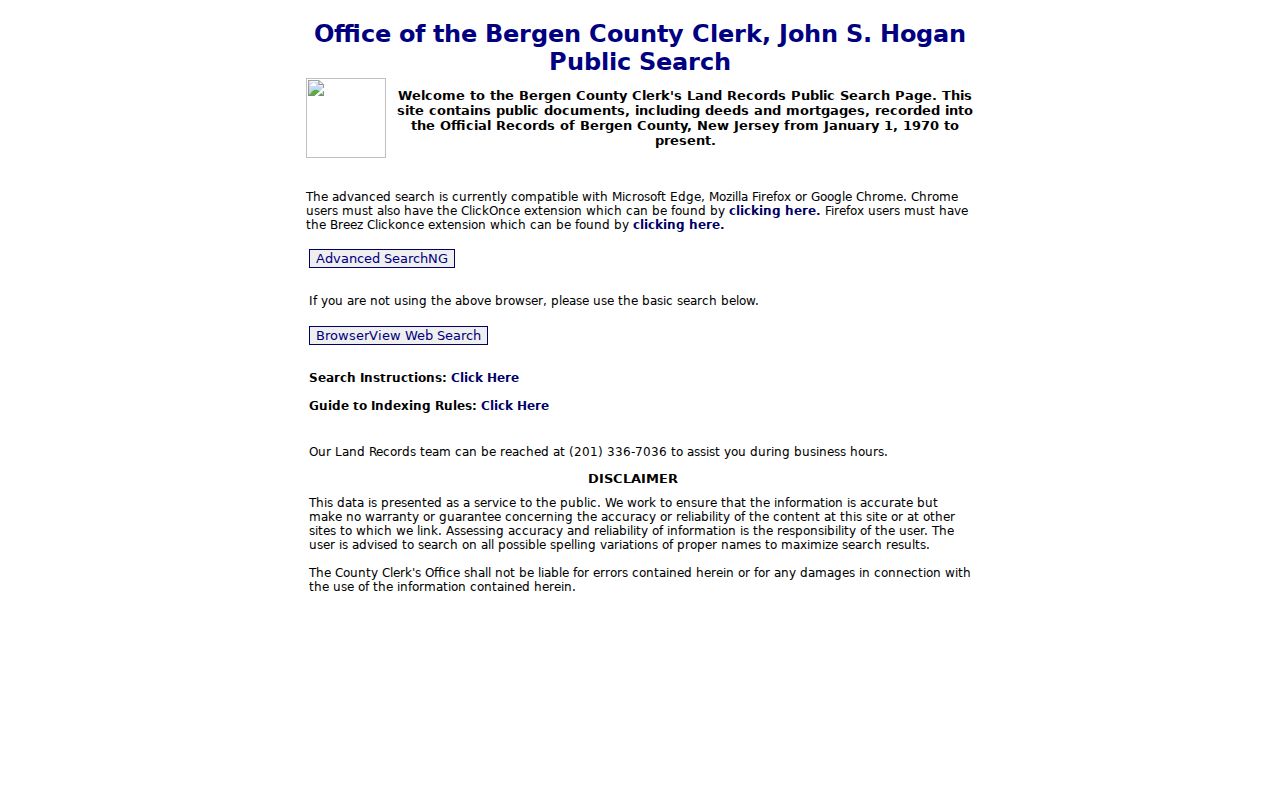
The index is a lead to an instrument, not the final finding. For older material, ask the Clerk whether the record requires a counter search, staff search, microfilm, or Archives access before ordering a copy.
- Grantor: the party transferring an interest.
- Grantee: the party receiving that interest.
- Legal description: the block, lot, metes-and-bounds, or other deed language that identifies land more durably than a street label.
- Recorded instrument: the deed, mortgage, release, or other filing entered by the Clerk.
County fees listed for deeds are $45 for the first page and $10 for each additional page. A staff search is listed at $10 even if no record is found, while certified-copy and photocopy fees are separate. Confirm the current charge and whether an image is available before paying.
Palisades Park Permit Trails by Address
A Building Department record answers a narrower question than a street directory. A permit or certificate of occupancy can document construction, an addition, a change of use, or a municipal approval process. It cannot establish who is present at an address. No public Palisades Park permit search was verified, so begin with the Borough Building Department and request a defined final permit, certificate of occupancy, or inspection record by address and date range. Ask for existing records rather than a new summary.
The official Building Department route shows the local process context for an address request.
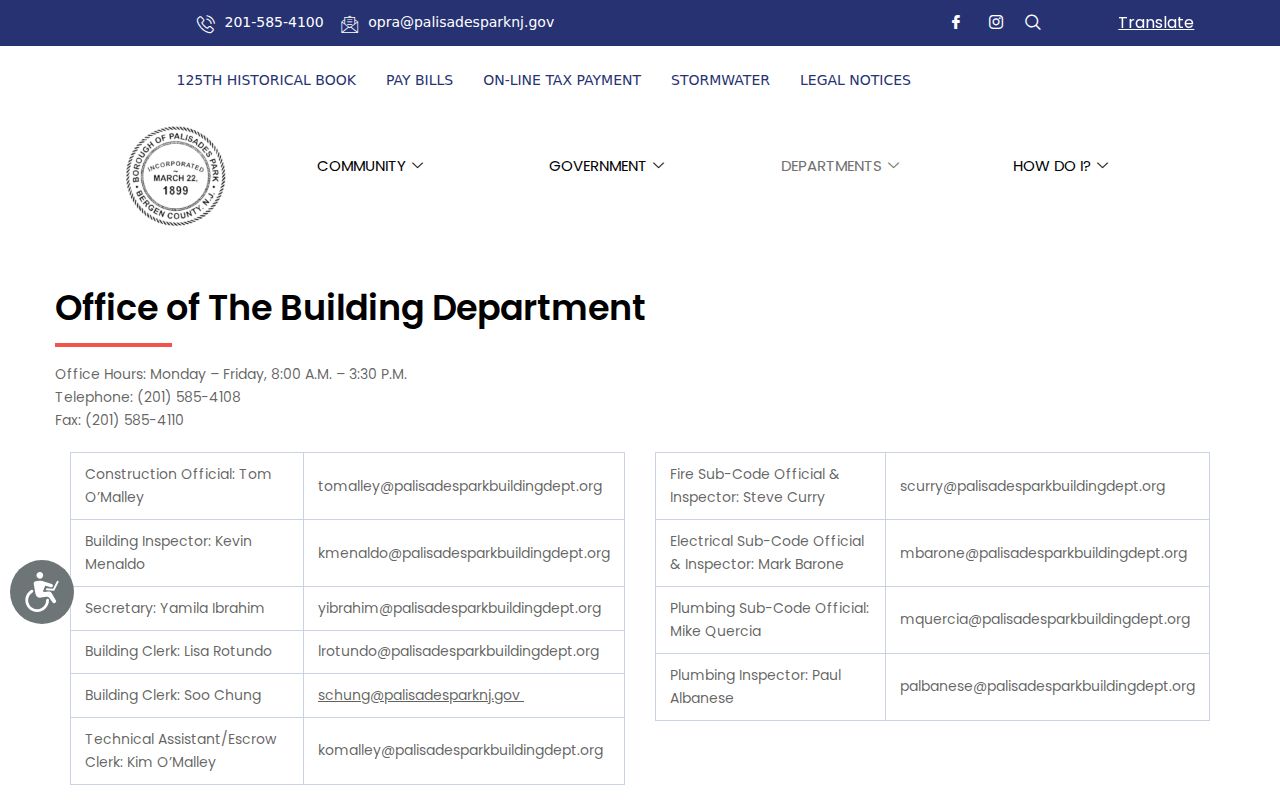
A narrow request can be sent to the correct custodian by inspection, mail, email, fax, or OPRA/JEDS submission if that route is accepted. Confirm the available method, copy charges, and any exempt material first.
The borough's legal-notice archive is also a dated civic trail. Since January 1, 2026, required notices have been posted free on the official site for subjects such as ordinances, planning, permits, audits, and meetings. A notice can help locate a public action, but it does not identify everyone connected to a street.
Historic Maps for Palisades Park Streets
Older street work needs more caution, not less. No official Palisades Park renumbering or renaming history was found. Do not assume a current number translates to an earlier one. Compare the deed's legal description, a tax map, the street or intersection, and an old sheet before drawing a connection. Palisades Park is documented in a 1911 Sanborn set, and Princeton's index identifies 1923 and 1930 sheets. Those maps show building footprints, use, and street context on their dates, not an occupant.
Property owners and estate representatives can also use Bergen Property Alert for alerts by municipality and block/lot or by party-name variants, then verify any filing in the land-record portal.
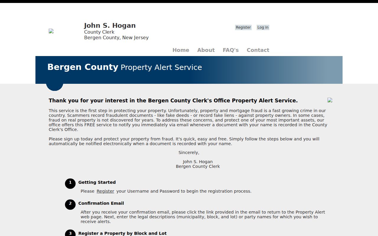
Property Alert is a notice tool for a person's own property or a family estate. It is not a way to assemble a street roster.
For a historical name-and-address clue, a regional directory or newspaper may help, but no Palisades Park-specific historic directory run was verified. Keep its collection, volume, date, page, and geography with the result. The historical collections themselves are handled in the Palisades Park directory book.
Palisades Park Street Records Routes
When an online result stops short, use the right office rather than repeating the same search. The County Clerk at One Bergen County Plaza handles land records, maps, historic material, voter-list functions, and certifications through separate divisions. The Board of Taxation is a distinct assessor route. GIS and Planning is another county department. Borough Hall is at 275 Broad Avenue, where the Clerk and Building Department can route municipal records. The research recommends confirming appointments, identification, copy costs, parking, and holiday closures before an in-person visit.
A request should identify the address, record type, date range, preferred delivery, and the exact division. For older deeds, ask whether the next step is counter access, a staff search, microfilm, or the New Jersey State Archives. That fallback chain is more reliable than assuming every street record was digitized.
For a land-record request, the County Clerk's recording-data guidance identifies the useful details: document date and type, first and second party, additional parties, and for a deed the block, lot, municipality, consideration, and grantee mailing address. A certification or staff search is different from an index hit. Ask whether the needed image is available and what product the fee covers before paying.
Note: Retain the source URL, access date, parcel fields, and document citation so a later reader can distinguish a map clue from a recorded instrument.
Limits of a Palisades Park Street Directory
Public address records have firm limits. A deed is not proof of residence, an assessment owner is not necessarily an occupant, and a historical directory can reflect a subscriber or head of household rather than everyone connected to an address. Utility customer lists, private delivery records, and motor-vehicle address information are not public substitutes. A voter list, where lawfully requested, is also not a guarantee of current physical presence, and protected-voter or confidentiality redactions must be respected.
Lawful use. Use Palisades Park street records for personal, family, property, or civic research, and never use them to stalk, harass, intimidate, or harm another person.
Daniel's Law redactions, New Jersey's Address Confidentiality Program, court confidentiality rules, and record-specific exemptions can remove or limit fields. If a result appears wrong or safety-sensitive, contact the original custodian about its correction or protection process rather than trying to reconstruct protected information.