
Palisades Park ZIP Code Coverage
Only one standard ZIP serving Palisades Park was verified from an official USPS location source: 07650. The result identifies the Palisades Park Post Office at 117 W Central Blvd, Suite 1, as the postal anchor. It does not supply an official ZIP boundary map, a ZIP+4 result, or a historical realignment record. For that reason, the Palisades Park ZIP code directory should not claim that every address using the postal city lies within the borough, or that every borough address must use the same mailing-city wording.
| ZIP | Areas covered | Post office | Notes |
|---|---|---|---|
| 07650 | Palisades Park postal delivery area verified by USPS | Palisades Park Post Office, 117 W Central Blvd, Suite 1 | Standard ZIP confirmed; ZIP+4 is a delivery detail; no official boundary or realignment map located |
The USPS Palisades Park location page lists the post office, ZIP, phone, weekday and Saturday service hours, and national service contact. Treat that page as a delivery-location check. The accessible research did not verify the live USPS ZIP Lookup form URL or its fields, so no unverified search behavior is promised here.
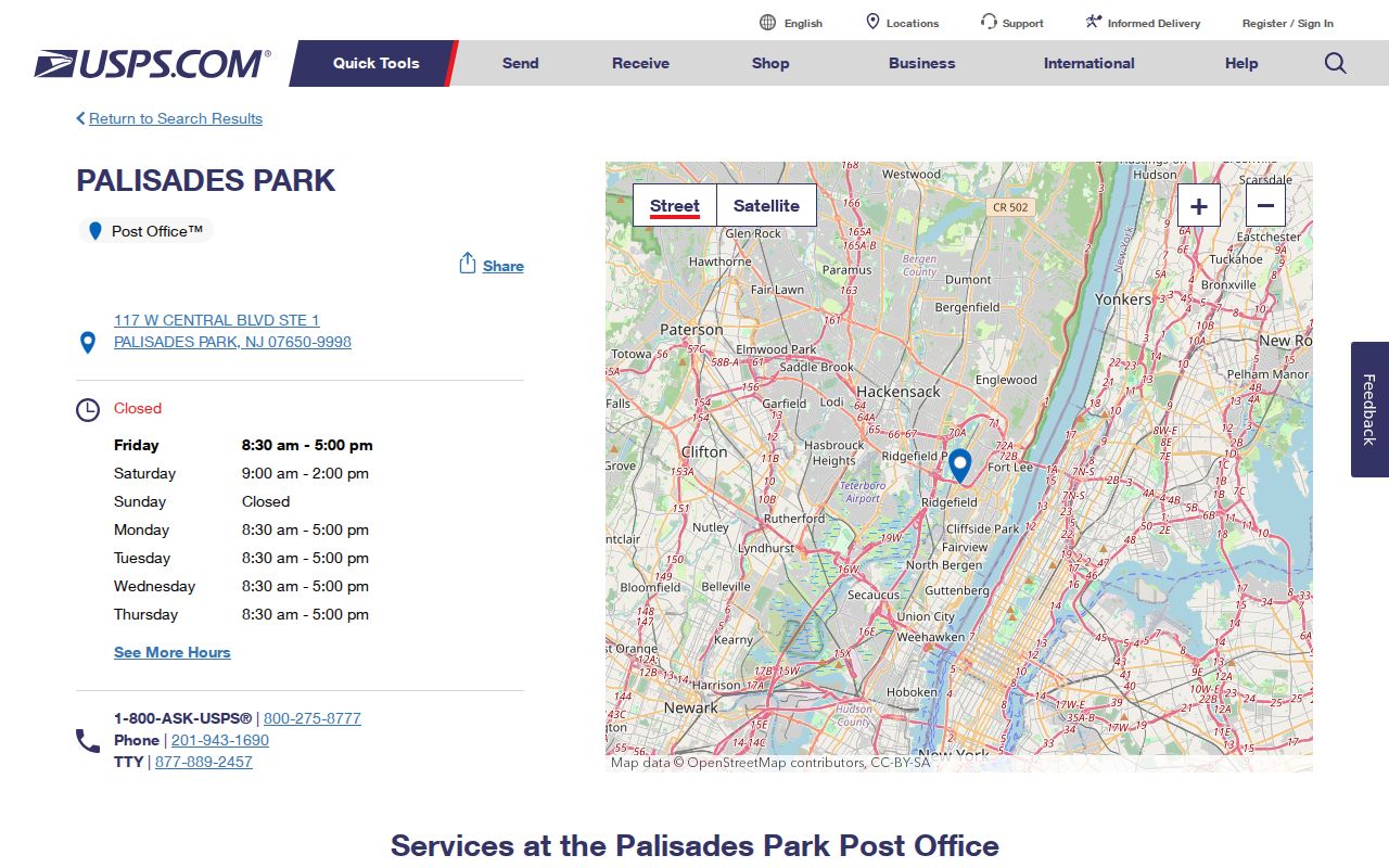
The USPS source supports the verified standard ZIP and the physical postal route; it does not turn a postal label into evidence of a resident or legal jurisdiction.
Palisades Park ZIP Code Postal Boundaries
Postal cities and municipalities solve different problems. A ZIP is a delivery-routing category, while Palisades Park Borough is a legal jurisdiction. An address near a border can have a Palisades Park postal city while the underlying municipal question belongs elsewhere. The reverse can also occur, with nearby municipal addresses using a different mailing city. An OPRA request, permit question, tax record, or court matter should go to the government custodian with legal jurisdiction, not simply to the office suggested by a ZIP label.
New Jersey’s municipality lookup accepts an address with optional city and ZIP and returns a municipality and standardized address. Use it after USPS when an address is close to a line or has an unusual city-and-ZIP combination. Preserve the original input as well as the standardized result. That provides a practical record of what was searched and how the jurisdiction was determined.
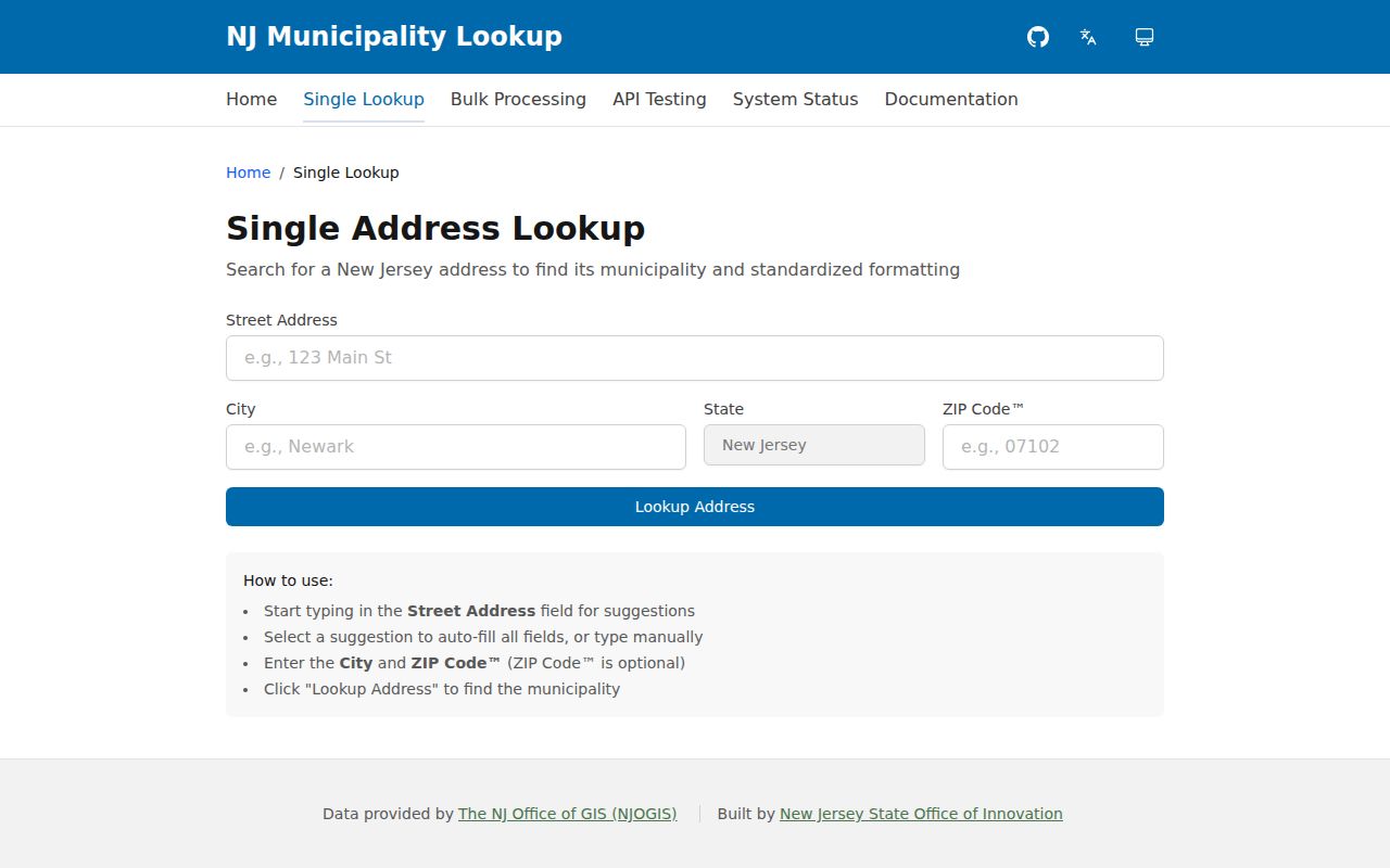
The state lookup is the legal-municipality step in the ZIP code directory workflow, not a public roster or a source for identifying occupants.
Bergen County's municipalities capture offers a county-level reference point when an address needs to be routed beyond the postal label.
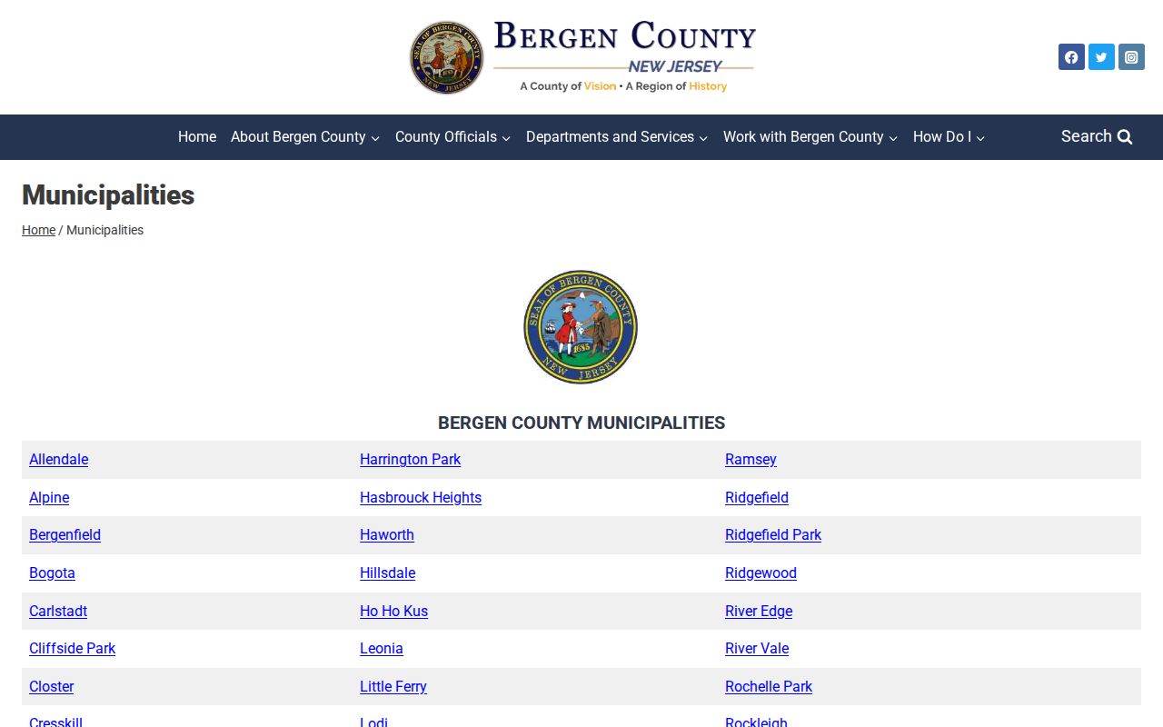
County municipal context helps identify the proper public office, but it does not replace an address-specific jurisdiction check.
Palisades Park ZIP Code Map Context
NJGIN address points and road centerlines provide a second normalization layer after the postal and municipality checks. The official quad-map municipal list places Palisades Park Borough in Bergen County and quads 42 and 43. The borough planning appendix depicts a compact boundary and transit routes, which helps explain why one-block differences merit close checking. Transit service is local geography, not proof that anyone lives at a particular address.
NJGIN address data is useful for standardized address context. The adjacent NJGIN parcel material helps distinguish a road address from a tax parcel. Parcel geometry is not a legal survey, and NJGIN redacts owner names under Daniel’s Law. For title or boundary reliance, use the deed legal description or survey evidence, not a screen polygon.
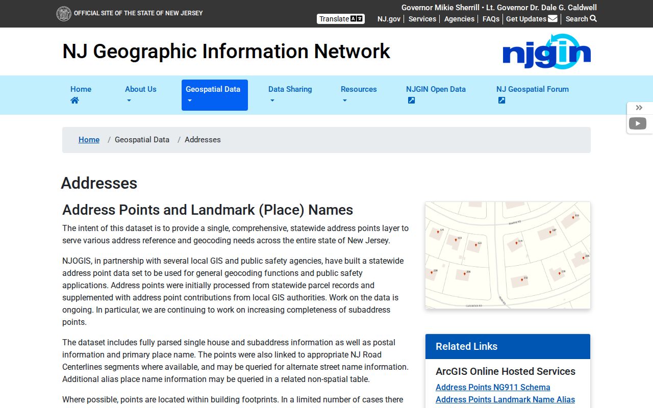
Address-point data helps normalize a place before a ZIP code directory search moves to county records, but it does not establish occupancy or a legal parcel boundary.
Note: Palisades Park’s dense, compact setting makes a block, lot, or official map point more precise than ZIP alone for property questions.
Find Residents in a Palisades Park ZIP Code
A ZIP-based search should be a cautious route to records, not a method for compiling a list of residents. Start by confirming the postal city and ZIP, then use the municipality lookup to identify the legal jurisdiction. The Bergen assessment and GIS tools are the researched local next step for parcel, block, and lot context. The land-record portal and a narrow OPRA request answer different questions. Neither an assessment owner, a deed party, a mailing address, nor a historical entry proves current occupancy.
- Confirm the delivery city and ZIP with the USPS location source or a separately verified USPS lookup result.
- Run the address through the New Jersey municipality lookup, saving its standardized municipality result.
- Select Bergen County and district 0245 in the assessment interface, then locate the parcel by location, owner name, block, lot, or qualifier.
- Use the county parcel viewer or NJGIN for map context, while treating the polygon as non-survey information.
- Ask the appropriate custodian for the specific public record needed, such as a deed, final permit record, or archival item.
Once the ZIP is narrowed to a named street, the Palisades Park street directory has the fuller address-keyed workflow. It is better suited to parcel and deed context than a ZIP-wide search.
Palisades Park ZIP Code Parcel Search Fields
The Bergen assessment interface is ZIP-adjacent rather than a verified direct ZIP filter. It becomes useful after USPS and the state lookup have converted a postal question into a municipal address. Start by selecting the database, county, district 0245, search and output formats, and one or more supported fields. Capture the assessment or tax year and SR1A information, then read the county’s no-warranty and Daniel’s Law warnings before relying on the display.
| Field | Type | Required | Use in the Palisades Park ZIP code route |
|---|---|---|---|
| Location | Address field | No | Moves a standardized street address toward a parcel record |
| Owner name | Name field | No | County assessment search option; not proof of current presence |
| Block | Parcel field | No | County tax key after the municipality is confirmed |
| Lot | Parcel field | No | Pairs with block to identify a tax parcel |
| Qualifier | Subparcel field | No | May identify a unit or subparcel where applicable |
The assessment record is an administrative snapshot. A situs address can differ from a deed grantee’s mailing address, and one record can reflect more than one legal interest. The county/GIS layer is more useful for an address question than ZIP alone.
Palisades Park ZIP Code Borough Limits
A ZIP+4 is a finer delivery detail inside a standard ZIP, not another borough. A post-office-box ZIP routes mail to a box instead of showing a physical situs. A unique ZIP generally serves one institution or large recipient; none was verified for Palisades Park. A carrier route is a postal delivery grouping, not a legal boundary or a statement about household identity. These terms explain service geography, but do not establish who lives at an address.
- ZIP versus ZIP+4
- The basic ZIP identifies a delivery area; ZIP+4 adds routing detail for a smaller delivery segment.
- PO-box ZIP
- A ZIP used for post-office-box delivery. It should not be forced into a property address.
- Unique ZIP
- A ZIP assigned to a single institution or large recipient. No such Palisades Park ZIP was verified in the research.
- Carrier route
- A postal delivery grouping that helps mail movement but does not define municipal jurisdiction.
No official Palisades Park E911 addressing manual, ZIP split notice, historical realignment record, quadrant rule, or street-numbering list was located. Do not infer a rule from a few addresses. For a suite, corner parcel, new construction, or border case, retain both the original and normalized forms and ask the office that owns the question.
Palisades Park ZIP Code Record Channels
Use the access channel that matches the record. USPS provides postal validation. The state municipality tool helps route a legal-jurisdiction question. Bergen assessment and GIS provide parcel and block-lot context. The Bergen County Clerk’s land-record search is the route for recorded conveyances and party-name variants. The Borough Clerk and Building Department are local fallback contacts for a focused OPRA or permit-related question when no public lookup exists. A request should name the department, record type, address or subject, date range, and delivery preference.
The Borough’s 2026 legal-notice archive is a separate, current civic route for ordinances, planning notices, permits, audits, and meetings. It can help identify a public process tied to a place, but it is not a ZIP resident directory. A building permit or certificate of occupancy likewise describes a municipal process or authorized use, not who presently occupies a location.
NJGIN parcel material illustrates the map-and-parcel stage after postal and municipality checks.
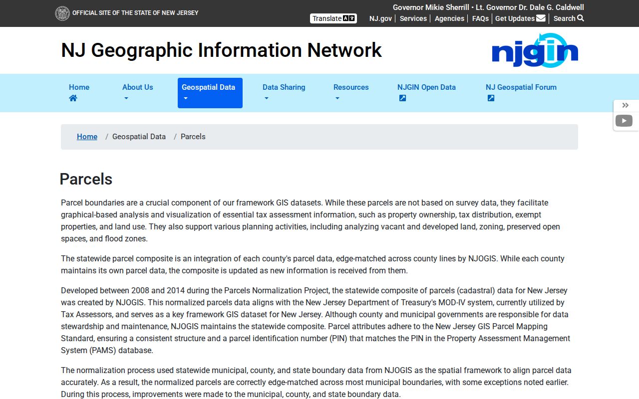
The NJGIN parcel source supports map and parcel context after the postal and municipality checks, while the official record custodian supplies any needed public document.
Palisades Park ZIP Code Border Checklist
For a questionable ZIP result, keep a short evidence trail: the address as entered, the USPS result, the standardized municipality, the parcel key, the source date, and the record type sought. That separation prevents a postal city, a tax parcel, a deed mailing address, and a historical map label from being treated as the same fact. It also makes a later correction possible when an office identifies a different custodian or a revised address.
Only 07650 was verified as a standard ZIP from the official location source. The lack of a verified postal boundary map is a real research limit, not a reason to fill the map with assumptions. A ZIP code directory remains useful when it directs people to the right postal, municipal, county, and archive channels while respecting protected addresses and lawful personal use.
Note: Keep ZIP, municipality, parcel, and record evidence separate because each answers a different question about the same place.