
Palisades Park Neighbors by Block
A block question has several different answers. The parcel viewer gives geometry and parcel relationships. Assessment records give a tax-record view. Recorded deeds can identify parties to a transfer, and historic maps show the built setting at a past date. Each source has a different keeper and limit. In particular, an assessment owner or deed grantee may not be the person who lives at a property, and a map polygon is not a legal survey.
| Source | What It Shows About a Block | Access |
|---|---|---|
| Bergen Parcel Viewer | Parcel geometry, map relationships, and address or MBL context | County GIS viewer; live search and identify controls need confirmation |
| Bergen assessment search | Parcel-by-parcel location, block, lot, qualifier, tax-year, and visible owner field | Search district 0245 by location or parcel fields |
| Bergen Land Records | Recorded transfer instruments and legal-description leads for selected parcels | Public index; copies, certification, and older records can require the office |
| NJGIN address layer | Address points, road centerlines, and alternate street-name context | State GIS; geometry is not survey evidence and protected data is redacted |
| Borough legal notices | Public planning, permit, ordinance, audit, or project activity by date | Official archive, with full notices posted free from January 1, 2026 |
| County voter-list route | Election-administration material by district, subject to field limits | Written County Clerk request and privacy rules, not an online block list |
| Historic Sanborn maps | Past building footprints, street labels, and land-use context | Digitized historic-map collections; historical evidence only |
| Community organizations | Public institutional contact and service context | Official organization contacts; no public member or HOA roster was verified |
The order matters. Map a location before looking at a record, identify the record type, and stop once that record answers the question. This is more reliable than turning a block into a list of names.
Mapping Palisades Park Neighbors
Use the Bergen County Parcel Viewer for map context and the assessment system for the county tax key. The research confirmed that the viewer exists, but did not confirm its live adjacent-parcel, buffer, identify, or export controls. Do not assume a radius tool or a one-click neighbor list. The documented fallback is simpler: locate the target parcel, note the adjacent parcel identifiers shown in the map context, and search only a selected public record if a specific follow-up question remains.
- Normalize the address with a municipality or address source when the street name or location is unclear.
- Locate the property in county GIS or assessment records and note the district, block, lot, qualifier, and tax year where shown.
- Use the map context to identify nearby parcel keys, rather than collecting people’s names from the block.
- Check the assessment or recorded-instrument route only for the selected parcel and record the source date and disclaimer.
The flow is address to parcel context, parcel key to an official record, and official record to a limited conclusion. For a full named-street chain, use the Palisades Park street directory rather than extending a block check into a broad address search.
Note: NJGIN and county parcel geometry are useful map context, but a deed legal description or survey controls when a boundary itself is in question.
Palisades Park Neighbors and Deed Context
When a selected parcel needs an ownership-history check, the Bergen County Land Records search is party-centered. The public electronic page covers January 1, 1970 to the present. Start with the parcel’s assessment information, then use the recorded party, recording date, municipality, block or lot, book or page, or instrument information when the portal exposes it. The county advises users to try name variants and warns that its index is not a title opinion.
Read the actual recorded instrument before describing a transfer. Older deeds may call for a County Clerk counter inquiry, staff search, microfilm, or Archives materials. A copy or certified copy is a different product from an index result, and fees can apply. The party who receives tax or deed correspondence may be elsewhere, so it should never be turned into a claim about who lives beside a particular address.
- Situs address
- The physical property location used in assessment or map work.
- Mailing address
- The address for notices or correspondence. It can be outside Palisades Park.
- Legal description
- The deed’s block/lot, metes-and-bounds, or other formal land description.
- MBL
- A municipal, block, and lot style parcel identifier used to connect map and assessment records.
Palisades Park Neighbors and Voter Lists
New Jersey’s voter status service is not a neighbor finder. The public status endpoint’s exact live fields were not verified in the research, and state guidance says a name must match the county load exactly. A non-match can reflect a hyphen, space, former name, middle initial, or nickname difference. Inactive status can follow address questions or an undeliverable sample ballot. It is not evidence that someone has moved, and it must not be used to build a presence list for a block.
The verified alternative is a narrow written request to the Bergen County Clerk for a registered-voter list by district. The listed charge is $0.25 per district; mail-in ballot lists are listed at $0.25 per page, or $0.50 per faxed page when funds are on deposit. Confirm the current field access, redactions, and permitted use before requesting anything. The source material identifies voter lists as election-administration records, not proof that a resident is at an address today.
The Bergen County voter-list service illustrates the office route for a limited, lawful request.
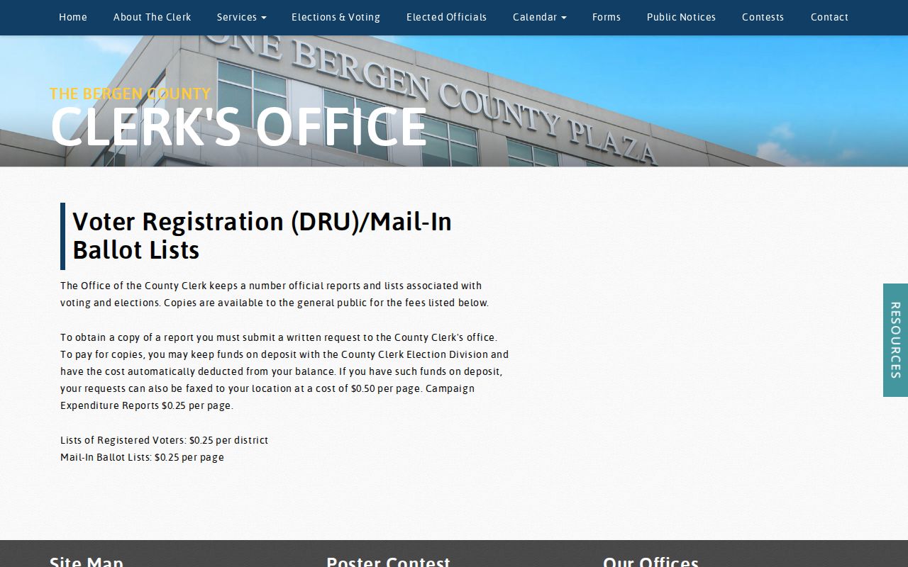
Use the County Clerk to confirm what is available and what is protected, instead of interpreting a list as a current neighborhood roster.
| Official block records | Commercial neighbor tools |
|---|---|
| Identify a custodian, coverage, access rule, and source date. | Often combine historical addresses, marketing data, and inferred associations that may be stale or wrong. |
| Require a record-specific purpose and preserve redactions. | Do not override sealed, confidential, or protected information. |
| Can be checked against the underlying map, deed, court, or election source. | Should not be used as the final source for a neighbor claim. |
Note: A voter-list request must stay tied to a lawful, documented election or civic purpose and respect every protected field.
Palisades Park Neighbor Civic Contacts
No borough-wide neighborhood association, HOA directory, public block-watch roster, or public community membership list was verified. That absence matters. A community group can offer a public contact route or service context, but it does not establish who lives in the area. Borough boards, committees, and legal notices are safer ways to follow public civic activity without trying to reconstruct a household list.
Palisades Park Public Library
257 Second Street, 201-585-4150. It is a local reference starting point, though official pages show different hours and no verified Palisades Park-specific resident directory.
Korean American Association
450 Broad Ave, 201-522-8880. The association provides a public institutional contact, not a general member list.
Palisades Park Voters Association
The organization offers a civic contact route at 415 3rd Street, but no public member directory was located. Confirm current contact details before relying on them.
The Palisades Park Library service page is a better first stop for a historical collection or reference question than an attempt to identify private neighbors.
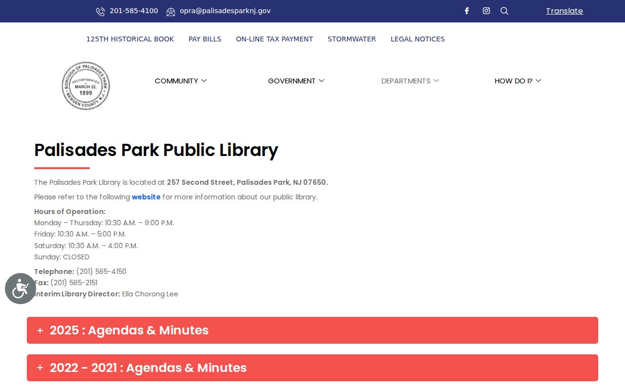
Library staff can help identify a catalog or regional history collection, while the exact holdings and access conditions still need to be confirmed.
The Palisades Park Municipal Court contact page is another example of a borough office route with a narrow purpose.
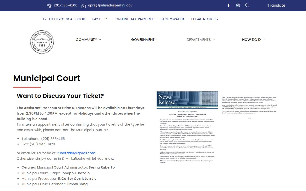
A ticket, complaint, or court record belongs with the court and its access rules. It is not a source for identifying nearby households.
Palisades Park Neighbors in Block History
Historic maps can answer a different kind of block question: what stood near an intersection, how a street label appeared, or whether a structure was present at a particular time. Library of Congress and Princeton material document Palisades Park Sanborn coverage in 1911, 1923, and 1930 ranges. Match the sheet title, municipality, street, and date carefully. Some historic material uses broader Palisades, Englewood, or Fort Lee labeling, which is not proof of a modern borough boundary.
The Bergen County Cultural and Historic Affairs resource is a county-level starting point for historical context and archive referrals.
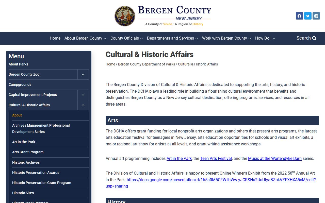
A historic map can support a building or street timeline, but it does not identify present neighbors or prove a current parcel boundary.
Palisades Park Neighbors and Property Alert
Bergen Property Alert offers a timely safety layer for someone monitoring their own parcel or a family estate. Registration uses a username, password, confirmation email, and a municipality/block/lot or party-name option. The county’s instructions recommend trying party-name variants, then verifying an alert in official land records. It is a notification tool for a selected property interest, not a way to monitor homes around a block.
This local use is especially helpful because Palisades Park is compact and map precision matters. A one-block difference can change the municipality, parcel, tax district, or public-service route. Treat the alert as a prompt to inspect the actual recorded filing, preserve the access date, and ask the County Clerk about a copy or certification if the record is needed for an estate or property decision.
Note: An alert or assessment change is a record lead, not proof of an occupant, a family relationship, or a reason to contact a person.
Palisades Park Neighbor Lookup Limits
Privacy rules set the outer boundary for a Palisades Park neighbor lookup. NJGIN says owner names are redacted from hosted parcel data under Daniel’s Law, and parcel polygons are not legal-boundary evidence. Utility customer lists, motor-vehicle addresses, private delivery data, and household-member lists are not public substitutes for parcel research. Court, vital, and election systems also withhold protected information under their own rules.
The New Jersey Address Confidentiality Program provides a substitute address for qualifying survivors and others covered by its rules. It cannot remove an already public record, but users should ask the custodian how future records are protected and should never try to reverse-lookup the substitute address. For an error or safety concern, identify the source record and ask the original custodian about correction, redaction, or an available appeal route.
Lawful use. Use Palisades Park neighbors records for personal, lawful research, property context, family history, civic questions, or safety needs. Never use a block record to stalk, harass, intimidate, or harm another person.